Le Guide de la Tarn Aveyron
Discover our other guides

You will like also


You will also like
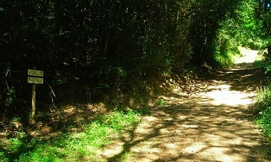
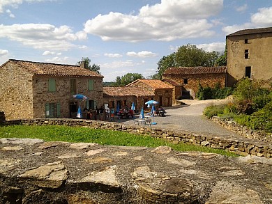
Sentier de découverte des cascades d'Arifat
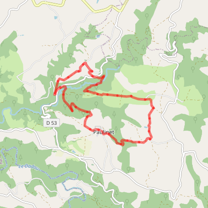
Sentier de découverte des cascades d'Arifat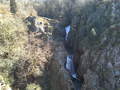
4,7 km - Arifat
We tested for you
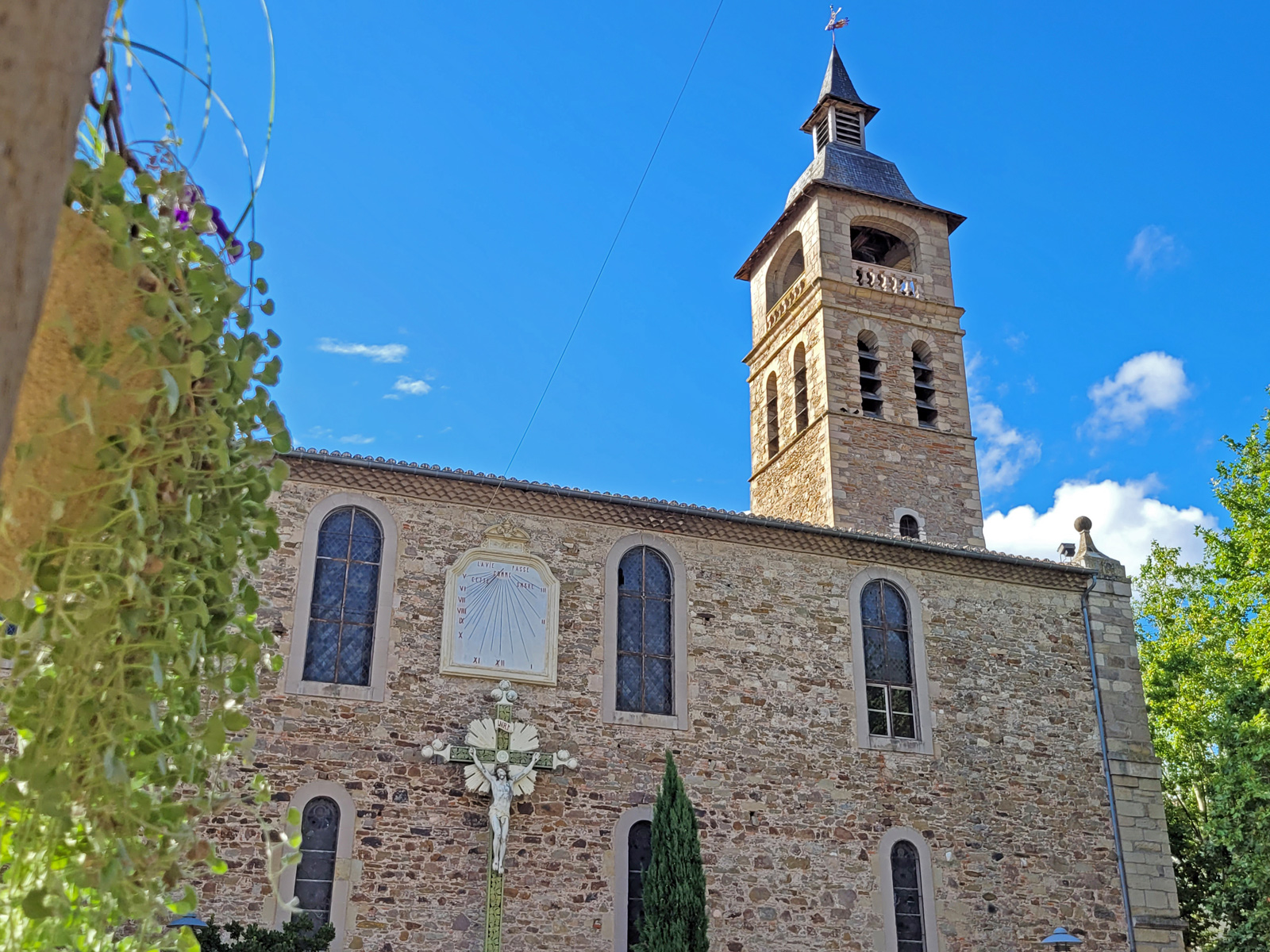
Visit Réalmont, a royal fortified town!
14,9 km
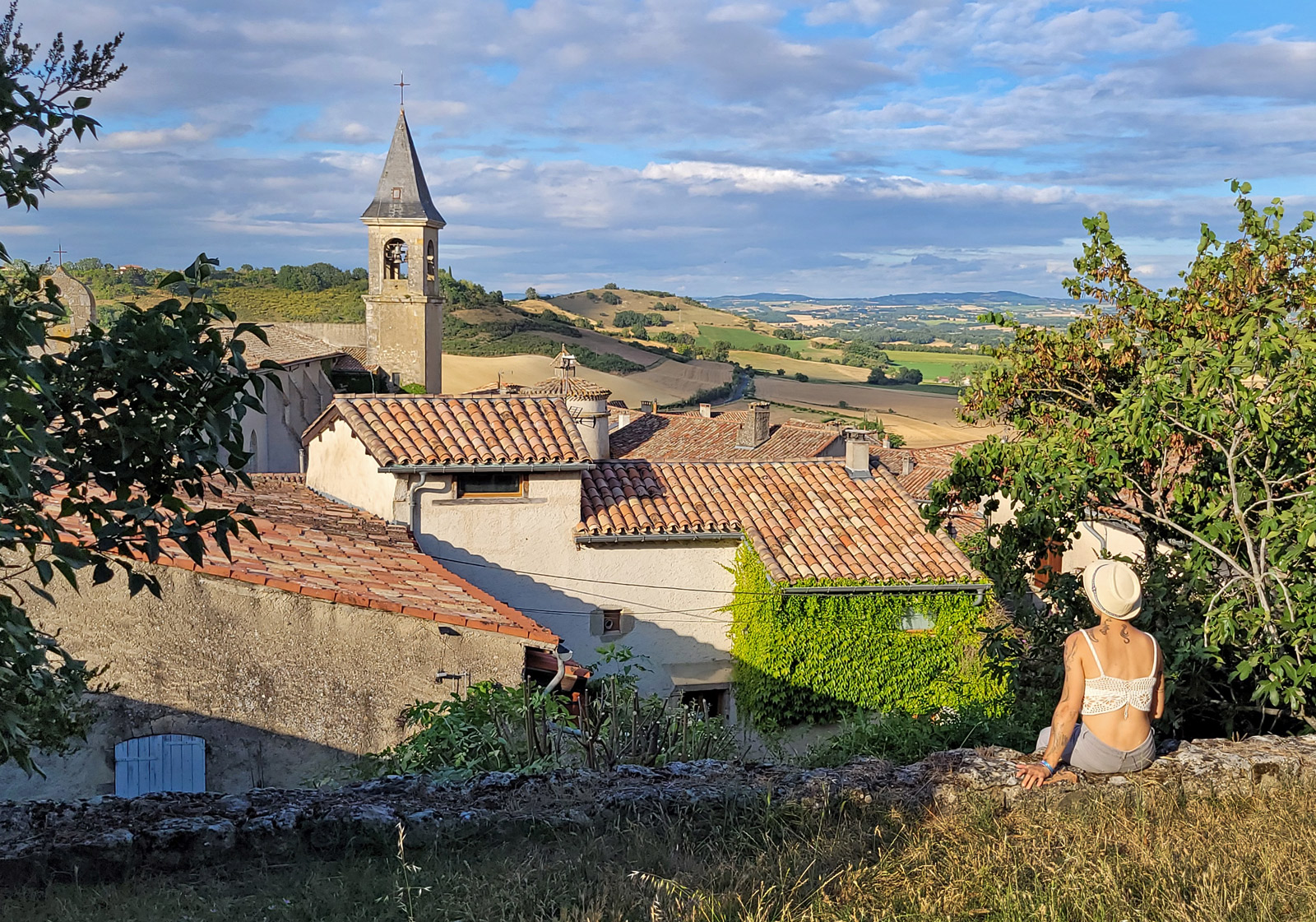
Visit Lautrec, one of the Most Beautiful Villages of France!
21,3 km
Lautrec Pink Garlic, the star of Tarn dishes

21,3 km
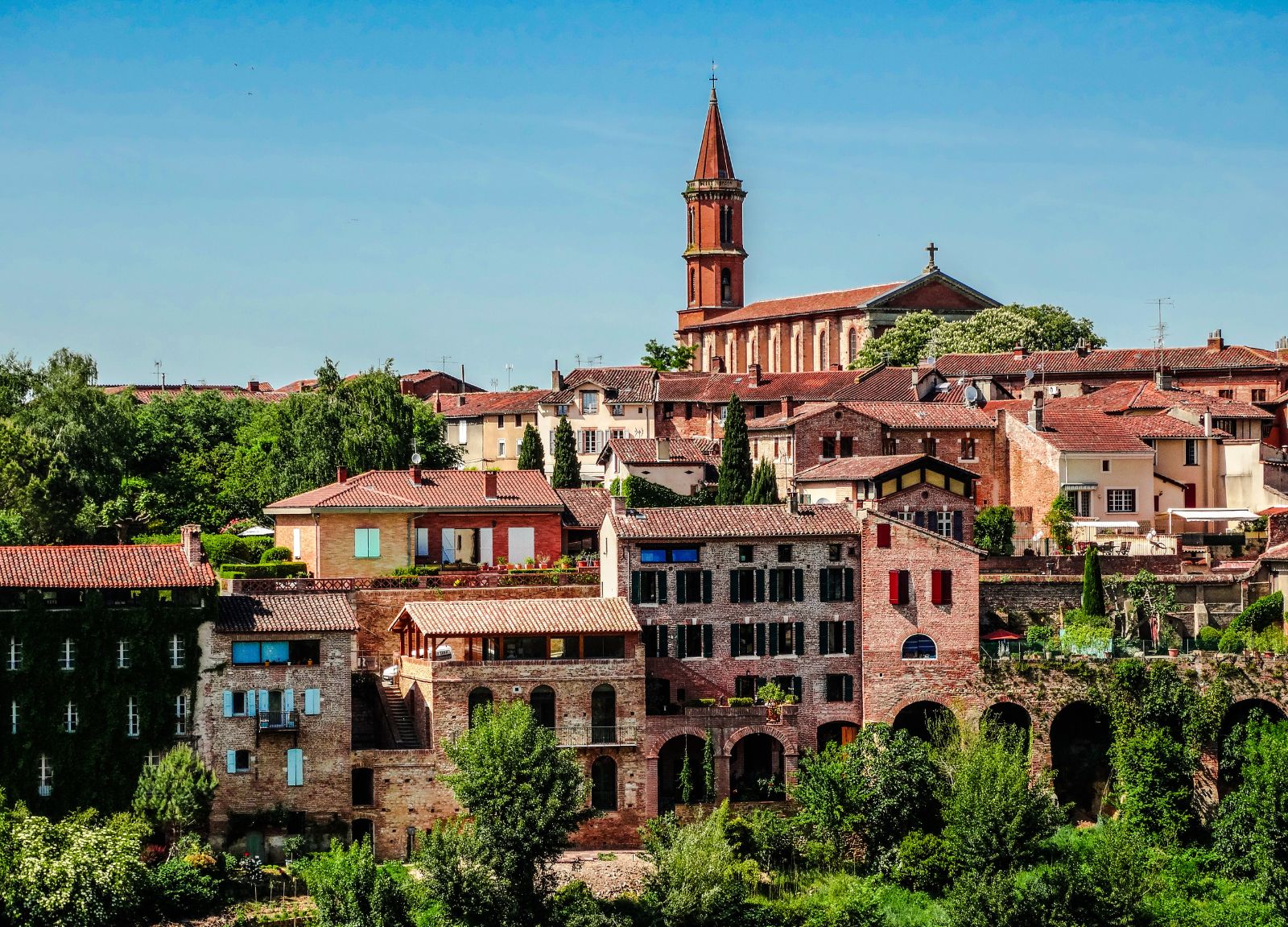
Visit Albi in 1 day: the essentials
22,4 km
On vacation in Albi, I'm having fun with the kids!
22,4 km
What to do in the Tarn in winter?

22,4 km
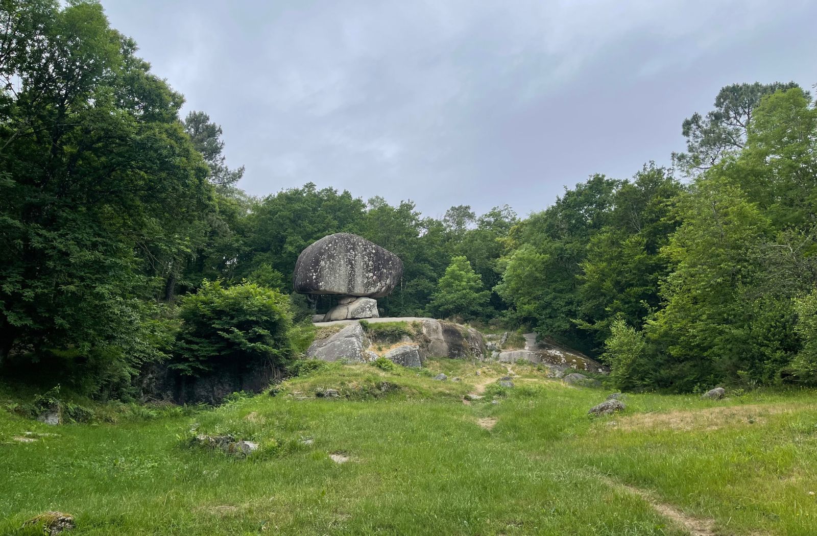
Sidobre & Vallée, a unique and 100% natural destination in the Tarn
23,3 km
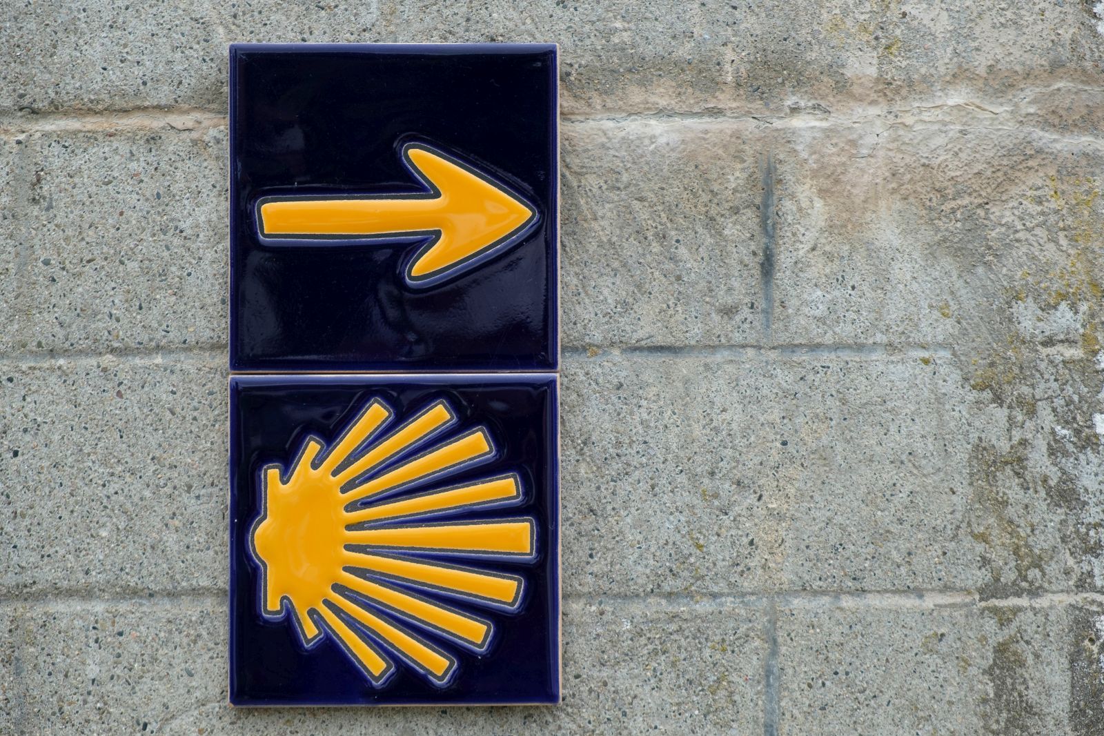
Via Tolosana, a route to Santiago de Compostela that crosses the Tarn
24,3 km