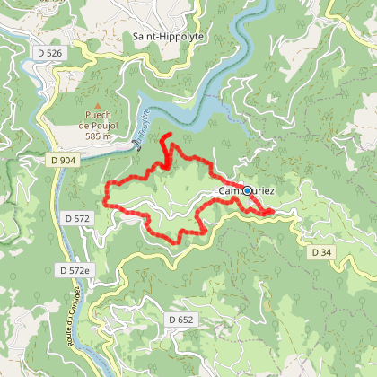
• Starting point : Campouriez
  • Total distance : 9,2 km
  • Elevation : 319 m
  • Walking : 2 h. 30 min. Medium

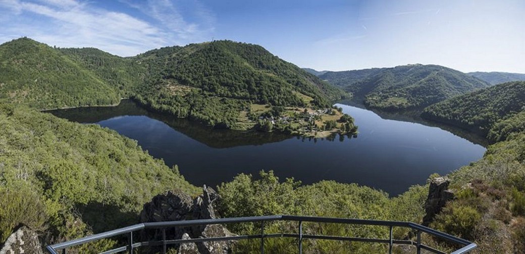
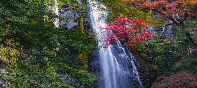
Grandiose et accessible, avec en point d'orgue un belvédère suspendu au dessus des Gorges de la Truyère.


Descendre la rue du village.
Au croisement, emprunter la route en face, puis prendre à gauche pour contourner le terrain de jeux. Continuer tout droit sur la petite route. Puis à l'intersection, prendre la piste sur votre droite et la suivre sur environ 2 km.
Prendre à droite la piste (...)

Access the details of this itinerary on Cirkwi.com

Last update : 14/08/2026 à 12:36:23

Source : Cirkwi | Parc Naturel Régional de l'Aubrac
Photo credit : © A. Méravilles. OT Tourisme en Aubrac

You will like also

The Laux botanical trail

The Laux botanical trail

The Laux Botanical Trail is a hiking trail, located on the borders of Aveyron, in the Pays du Haut-Rouergue. Le Laux ...

5,7 km - Montézic

Entraygues-sur-Truyère

Entraygues-sur-Truyère

Nestled at the confluence of the Lot and Truyère rivers, Entraygues-sur-Truyères is a place where history, nature ...

5,8 km - Entraygues-sur-Truyère

The Saut du Chien waterfall

The Saut du Chien waterfall

The Saut du Chien waterfall is nestled in the forest that runs along the banks of the river La Truyère, which ...

6,0 km - Montézic

The lake of Maury or Lac de la Selve

The lake of Maury or Lac de la Selve

In the town of Saint-Amans-des-Cots, there is a large body of water, divided into two parts forming a "V". The ...

6,0 km - Saint-Amans-des-Cots

The tour of the lake of Saint-Gervais

The tour of the lake of Saint-Gervais

Lake Saint-Gervais is located in the town of Saint-Symphorien-de-Thénières, north of Laguiole. It is a rural area ...

7,7 km - Saint-Symphorien-de-Thénières

You will also like

Circuit à pied n°20 au départ du barrage de Couesques

Circuit à pied n°20 au départ du barrage de Couesques
Circuit à pied n°20 au départ du barrage de Co ...

1,9 km - Saint-Hippolyte

Walking

La retenue de Couesques

La retenue de Couesques

2,1 km - Saint-Hippolyte

Walking

Circuit à pied n°19 au départ de Saint-Hippolyte

Circuit à pied n°19 au départ de Saint-Hippolyte
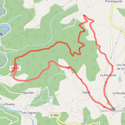
2,7 km - Saint-Hippolyte

Walking

Circuit VTT n°11 au départ de Couesques-Basses
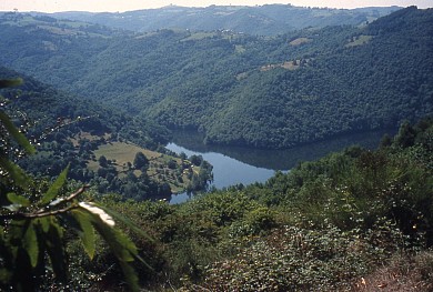
Circuit VTT n°11 au départ de Couesques-Basses

2,8 km - Saint-Hippolyte
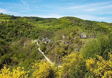
Mountain bike

Le site de Bès-Bédène

Le site de Bès-Bédène

4,0 km - Saint-Amans-des-Cots

Walking

We tested for you

Road trip enthusiasts: the cheese route in Aveyron!
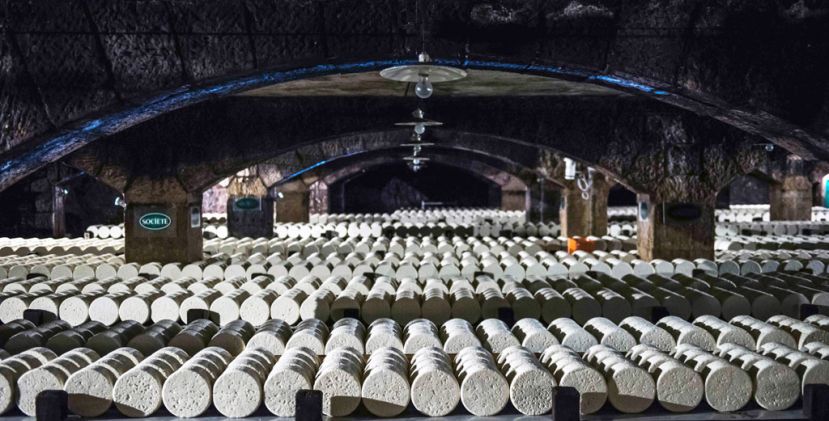
Road trip enthusiasts: the cheese route in Aveyron!
Road trip enthusiasts: the cheese route in Ave ...

18,9 km - Laguiole

Via Podiensis, a route to Santiago de Compostela that passes through Tarn-Aveyron
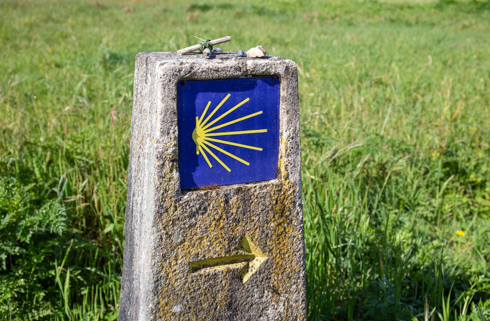
Via Podiensis, a route to Santiago de Compostela that passes through Tarn-Aveyron
Via Podiensis, a route to Santiago de Composte ...

22,4 km - Espalion

The Top 10 unusual visits in Aveyron

The Top 10 unusual visits in Aveyron

26,0 km - Bozouls

The vineyards, visits and wine tasting in Aveyron
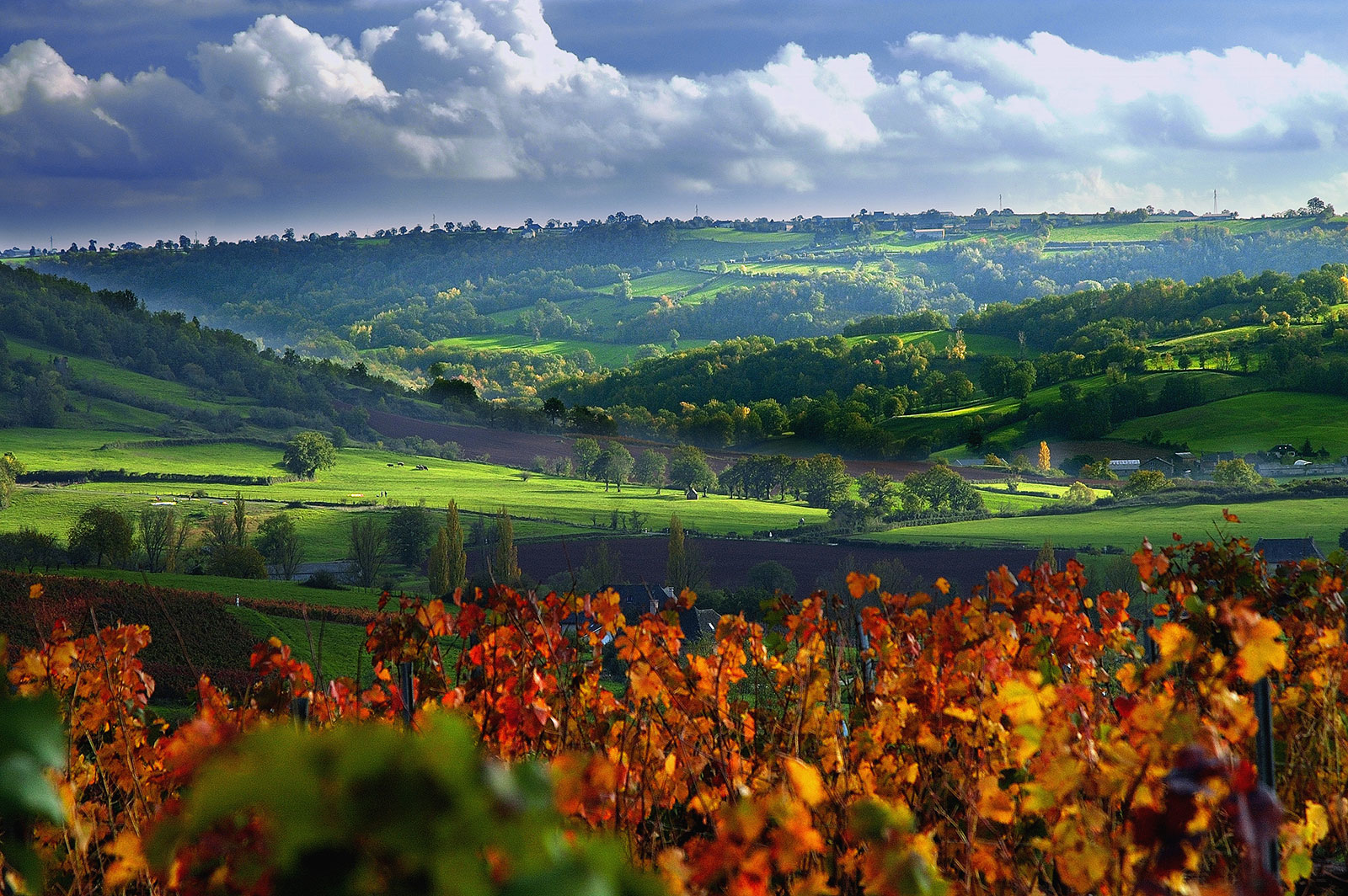
The vineyards, visits and wine tasting in Aveyron

26,5 km - Marcillac-Vallon

The most beautiful natural sites of Aveyron
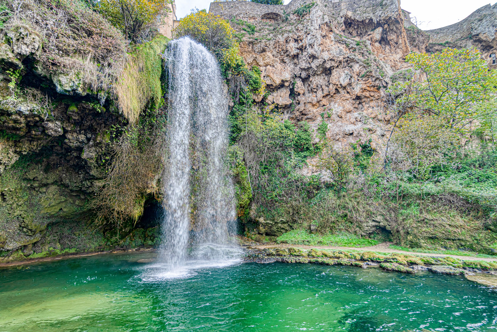
The most beautiful natural sites of Aveyron

29,0 km - Salles-la-Source