Le Guide de la Tarn Aveyron
Discover our other guides

The Gourteau Loop Walk
You will like also



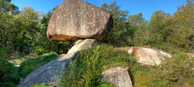
You will also like
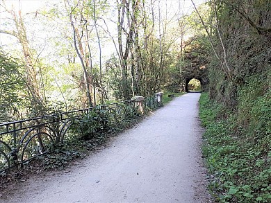
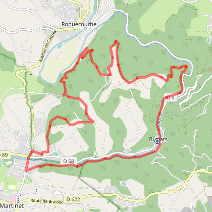
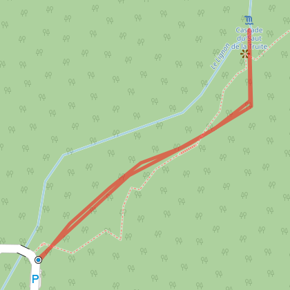
Hiking: The Fountains Trail (Chemin des Fontaines) – 15 km / 4 hours
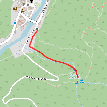
Hiking: The Fountains Trail (Chemin des Fontaines) – 15 km / 4 hours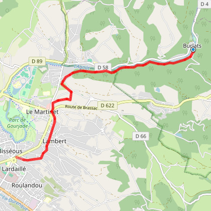
274 m - Burlats
We tested for you
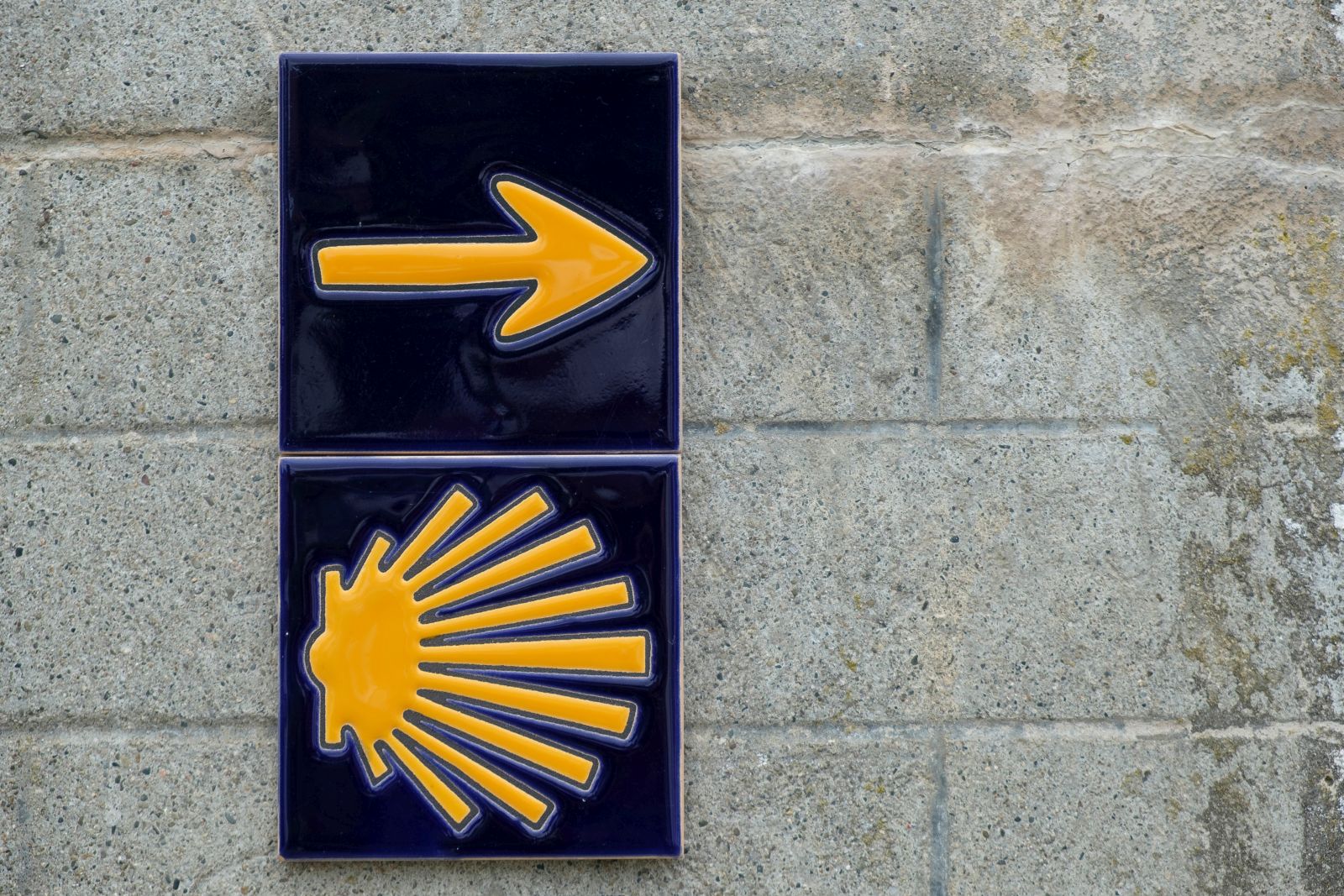
Via Tolosana, a route to Santiago de Compostela that crosses the Tarn
7,0 km
Dgrandiose, the incomparable comfort of sheepskin items in the Tarn

7,0 km
Getting married in the Tarn

7,0 km
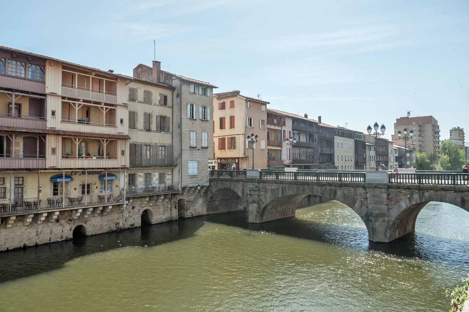
Walk in Castres in the Tarn
7,0 km
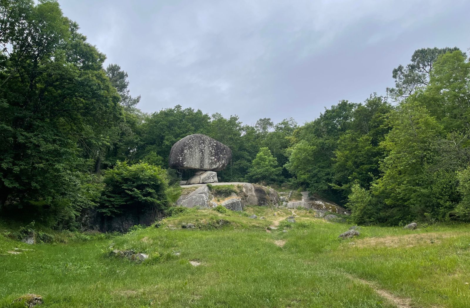
Sidobre & Vallée, a unique and 100% natural destination in the Tarn
13,1 km
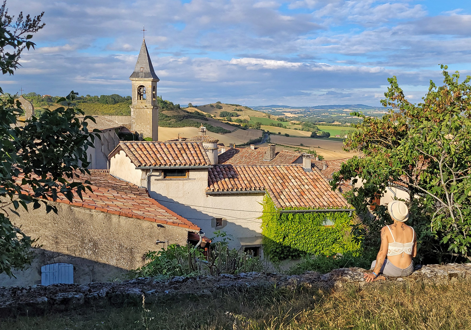
Visit Lautrec, one of the Most Beautiful Villages of France!
16,6 km
Lautrec Pink Garlic, the star of Tarn dishes

16,6 km
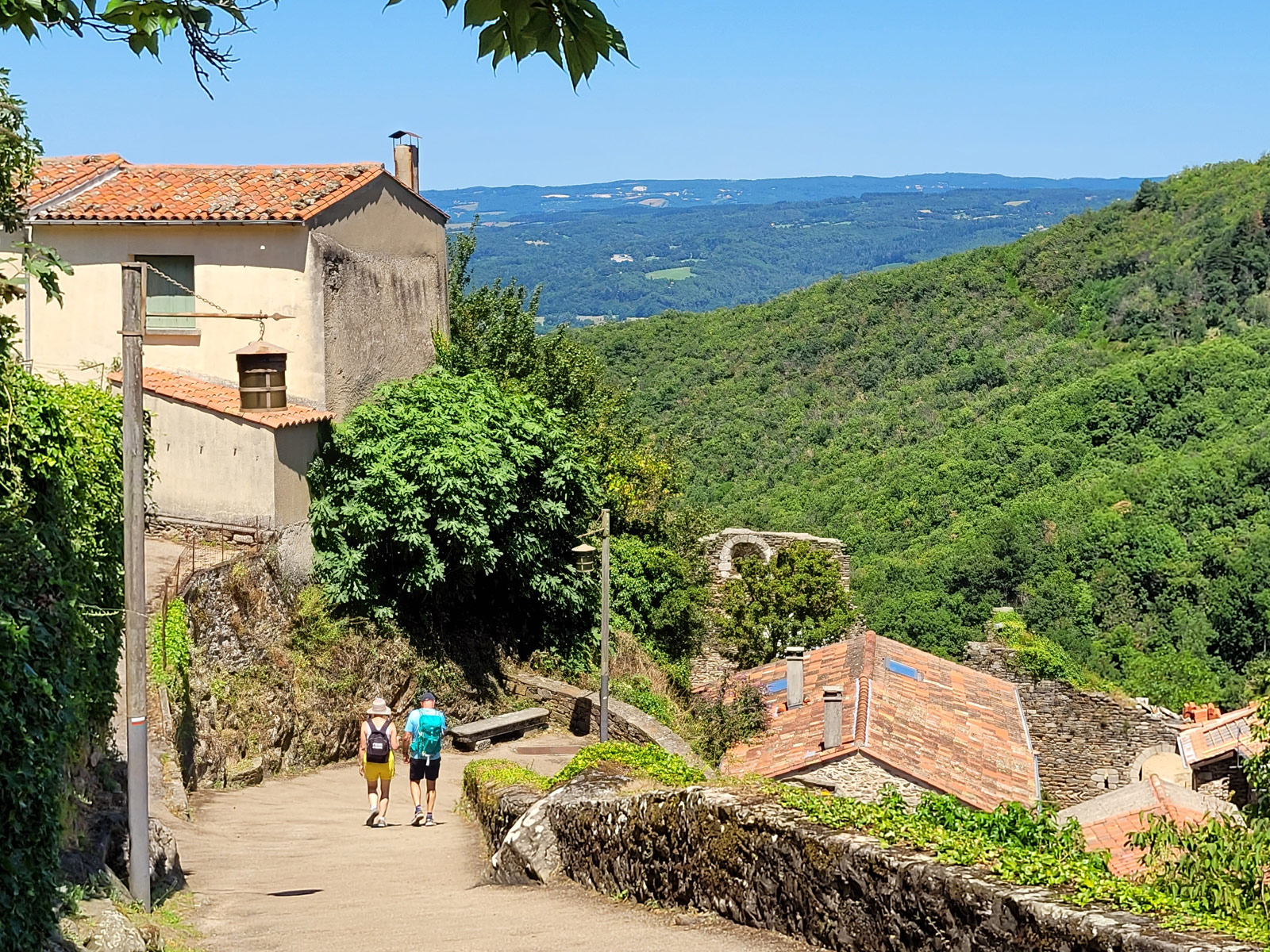
The Mazamet footbridge and the village of Hautpoul!
16,9 km