Micropolis, discover the extraordinary city of insects
Micropolis, discover the extraordinary city of insects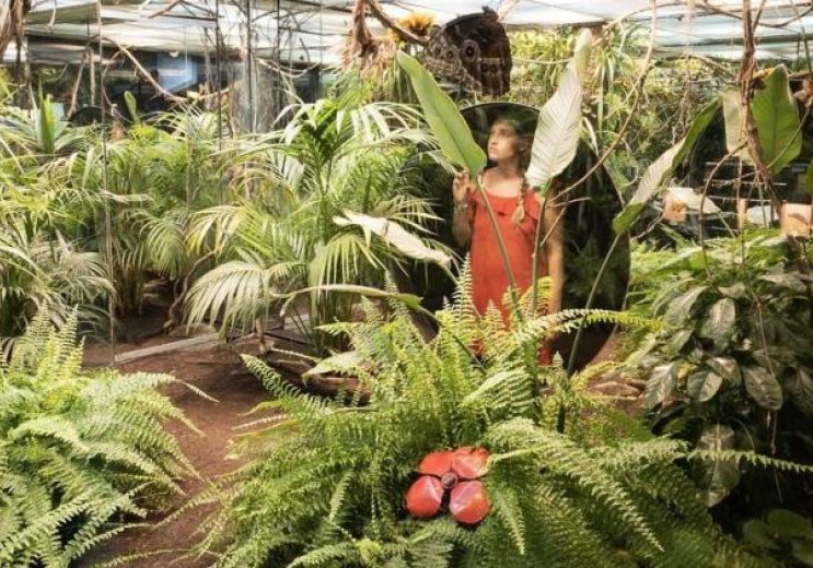
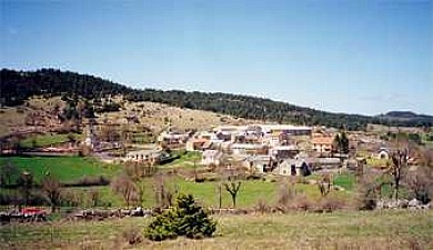
28,0 km - Saint-Léons
Culture and Heritage
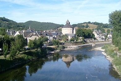
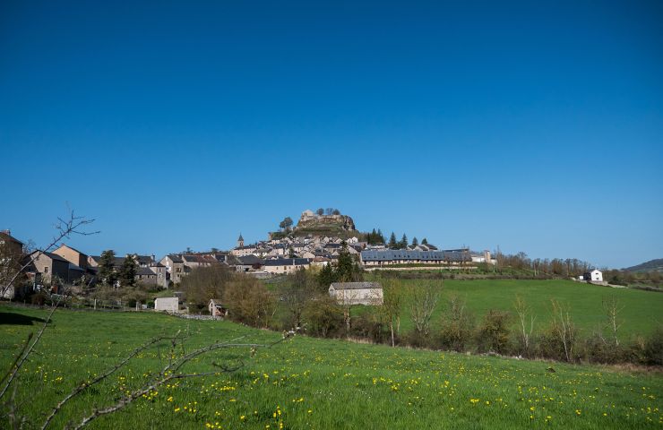
Sainte-Eulalie-d'Olt is a true gem nestled in the Aveyron department, classified among the " Most Beautiful Villages ...
14,2 km - Sainte-Eulalie-d'Olt
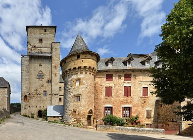
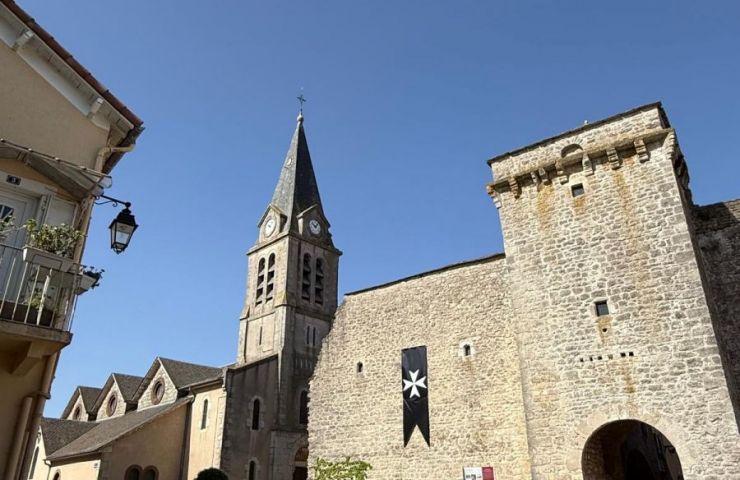
Sévérac-le-Château is a gem of Aveyron heritage. This former commune, now part of the new commune of Sévérac ...
14,6 km - Sévérac-le-Château
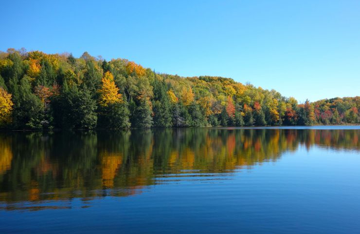
The Lake of Picades is located in the Regional Natural Park of Aubrac, on the border between Aveyron and Lozère, in ...
17,7 km - Saint-Chély-d'Aubrac
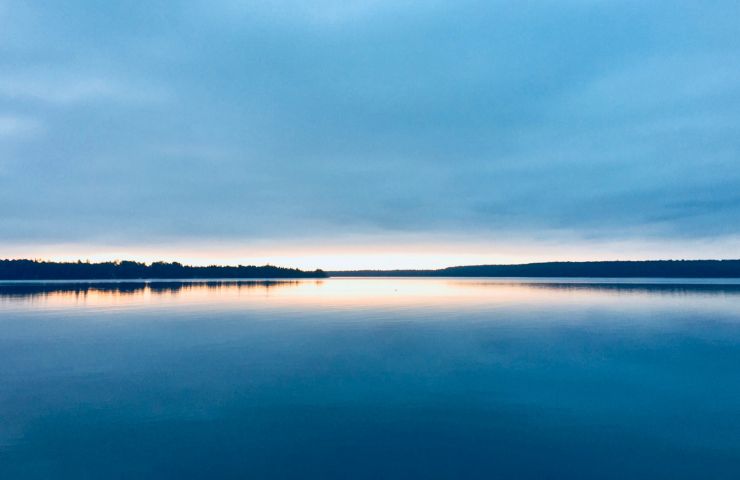
The Lake of the Monks is an artificial body of water, in the heart of the Aubrac Regional Natural Park. It is ...
21,0 km - Saint-Chély-d'Aubrac
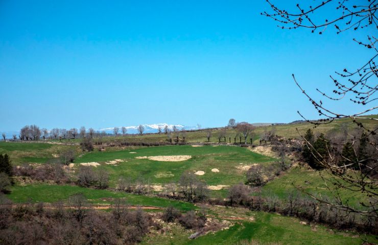
The Aubrac Plateau is an imposing volcanic plateau, which extends to the foot of the Monts d'Aubrac, between ...
22,2 km - Saint-Chély-d'Aubrac
28,0 km - Saint-Léons
Culture and Heritage
29,9 km - Espalion
Culture and Heritage
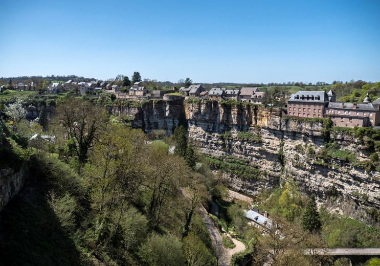
32,1 km - Bozouls
Culture and Heritage
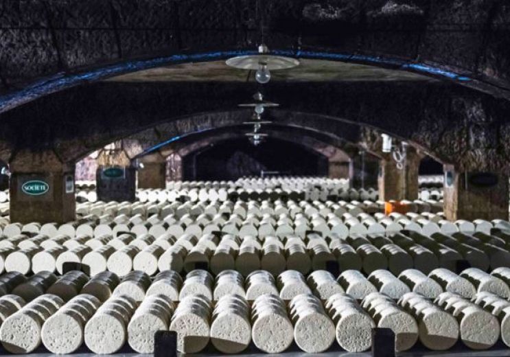
34,3 km - Laguiole
Food Lover

38,8 km - Millau
Not to be missed