Sidobre & Vallée, a unique and 100% natural destination in the Tarn
Sidobre & Vallée, a unique and 100% natural destination in the Tarn
8,5 km - Le Bez
Family time

La Ferme du Plateau des Lacs
81260 Angles
43° 33'48.44"N, 2° 33'37.75"E
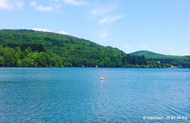
The Lake of Saints-Peyres is an artificial plane which collects the waters of the Arn river, thanks to a dam. The ...
4,0 km - Anglès
Nestled between the Black Mountain and the Lacaune Mountains, the Anglès Plateau is criss-crossed by two rivers, ...
5,9 km - Anglès
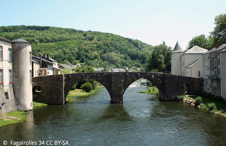
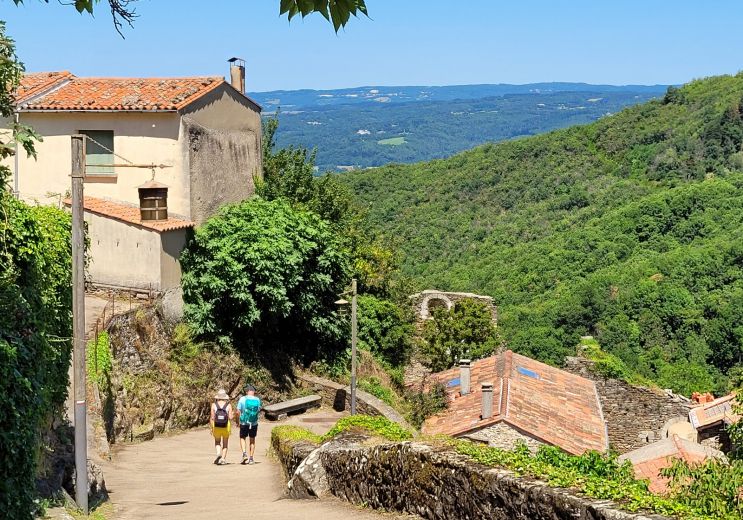
In the heart of the Tarn, Brassac is a beautiful town with authentic charm and unspoiled nature. A journey through ...
8,9 km - Brassac
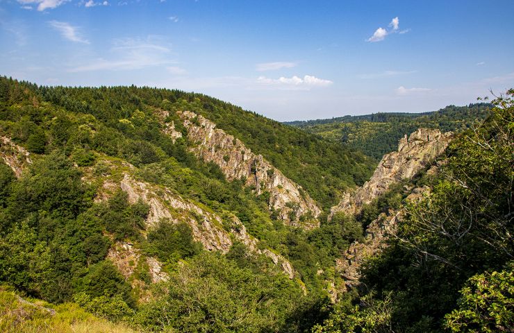
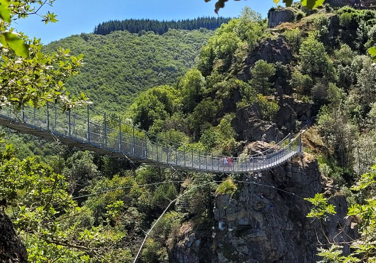
The Banquet Gorge were formed by the river Arn, in the Montagne Noire. Located near Mazamet and Castres, it is a ...
9,4 km - Saint-Amans-Soult
The Canroute peat bog trail is located south of Castres and the Tarn, in the town of Fontrieu. This is a discovery ...
10,2 km - Fontrieu
8,5 km - Le Bez
Family time
16,9 km - Mazamet
Rest and relaxation
16,9 km - Mazamet
Sport
16,9 km - Mazamet
Culture and Heritage
16,9 km - Mazamet
Family time

Foie gras from Bec Fin, or the art of showcasing the Aveyron terroir Foie gras is the jewel of Southwestern French ...
97,1 km - Villefranche-de-Rouergue